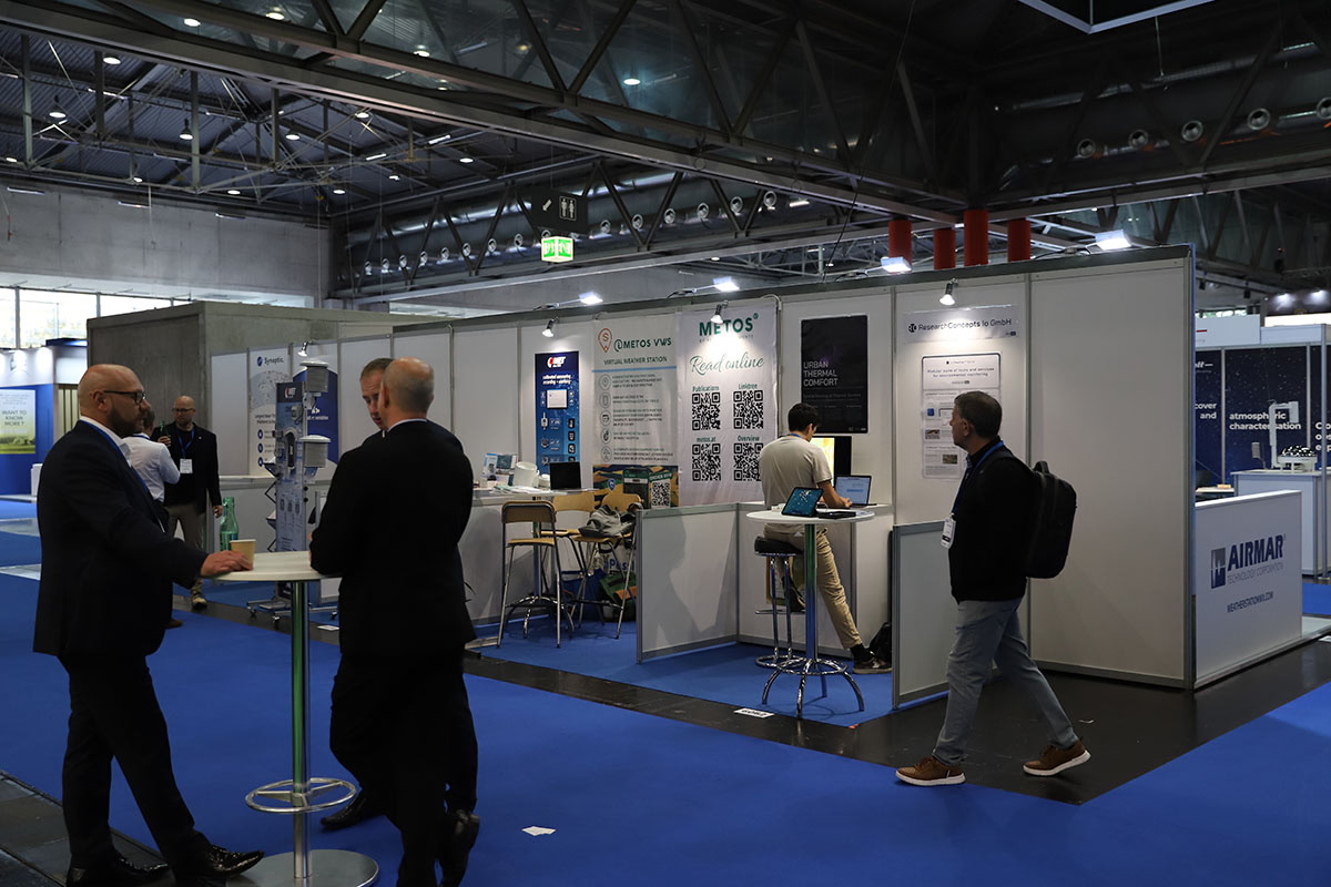
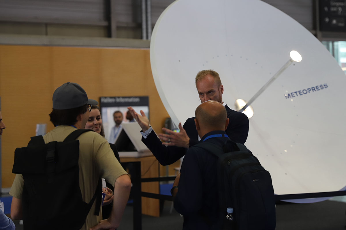
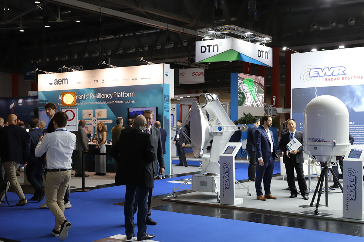
Meteorological Technology World Expo is the leading global event for meteorological, hydromet, metocean, and environmental monitoring technologies and services. Attracting over 150 exhibitors and thousands of attendees from more than 100 countries, it is the largest exhibition of its kind worldwide.
The expo draws buyers and users from national meteorological and hydrological services, environmental agencies, research institutes and weather-critical industries such as aviation, maritime, agriculture, transportation and renewable energy. It’s a must-attend event for discovering cutting-edge technologies, meeting new suppliers and networking within the industry.
Tuesday, October 14
10:00hrs – 17:00hrs
Wednesday, October 15
10:00hrs – 18:00hrs
Thursday, October 16
10:00hrs – 15:00hrs
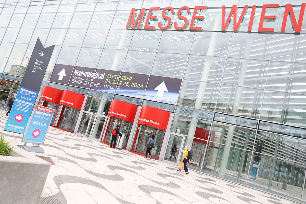
RX Wien GmbH
Messeplatz 1
1020 Wien